Please note that from 18th December 2023, theNRgroup was formally closed. After 22 years of providing a forum for independent development and natural resource consultants to share opportunities and promote themselves worldwide, we have decided to cease being a formal entity. Many of the consultants continue to work in development and can be contacted individually. This website will be discontinued in September 2024.
We thank all those people and organisations who have worked with us for so many years.
For information our remaining funds will be distributed to the Tropical Agriculture Association , VSO and Live Stream Trust, all of whom do good work in technical transfer, peer to peer working and research for natural resource management worldwide.
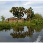
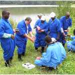
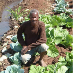
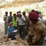
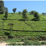
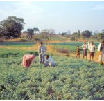
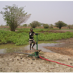
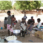
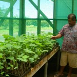
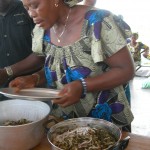
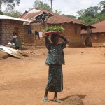
The NRgroup was an association of independent international consultants who offer their expertise on the design, management and evaluation of natural resources and related sectors to projects and programmes worldwide. With a unique combination of skills and a wealth of professional experience members of the NRgroup provide fit-for-purpose and sustainable solutions for national and international activities.